File:WistaniaMap.png
Jump to navigation
Jump to search

Size of this preview: 800 × 547 pixels. Other resolution: 875 × 598 pixels.
Original file (875 × 598 pixels, file size: 578 KB, MIME type: image/png)
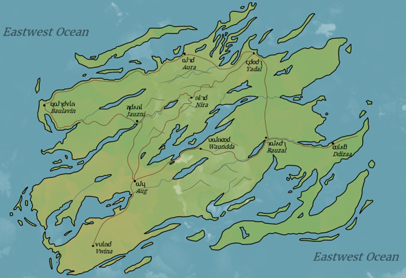
A map of the Wistanian island
File history
Click on a date/time to view the file as it appeared at that time.
| Date/Time | Thumbnail | Dimensions | User | Comment | |
|---|---|---|---|---|---|
| current | 16:26, 2 May 2018 | | 875 × 598 (578 KB) | Upalldayallen (talk | contribs) | A map of the Wistanian island |
You cannot overwrite this file.
File usage
There are no pages that use this file.